Knowing About Place: The Importance of “Where” in Ethical Geospatial Education

The SpatialThink Lab is a research lab studying various aspects of spatial thinking and cognition, with a particular focus on spatial modelling, usability, cartography, and geovisualisation. We employ novel visualisations such as tactile maps and virtual reality.
We have particular expertise in geospatial pedagogy and offer both university and short tailored GIS and other geospatial courses.
The lab is led by Dr Mairéad de Róiste, an Associate Professor at Te Herenga Waka Victoria University of Wellington, and is based in Aotearoa New Zealand.
Current students are studying design guidelines for tactile maps for blind and low vision users, supporting decision making using virtual reality in ecosystem service modelling, and using virtual reality to weave identity. Former students have looked at noise modelling for early childhood centres and schools, parking impacts on commuting at both home and work, and capturing neighbourhood boundaries.
Get in contact if you are interested in working with us as a collaborator, a student at either Masters or PhD level, or are interested in GIS courses.
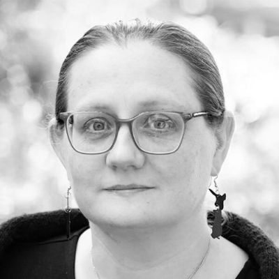
Associate Professor and Lab Lead
Mairéad leads the SpatialThink Lab at Te Herenga Waka Victoria University of Wellington.
Transport-generated noise pollution significantly burdens population health. Quantifying noise distribution and identifying areas with elevated noise levels is crucial for …
Planning land use changes requires input from experts across several domains with diverse expertise. Currently available tools were not designed for analysing the required …

What to think about, and what to send, when you ask a lecturer to be your referee.